
Look Up Milwaukee Neighbors
Public sources describe the land and civic setting around an address better than they describe every household. A parcel viewer outlines the lots beside a starting point. The assessment roll names recorded owners. City permit and inspection records add dates to buildings, while neighborhood groups supply public contacts for local projects. None is a complete roll of Milwaukee neighbors.
| Source | What It Shows About a Block | Access |
|---|---|---|
| Map Milwaukee | Parcel shapes, taxkeys and mapped layers near one address | Free public viewer |
| Municipal assessment roll | Recorded owner, mailing address and parcel facts | City portal or suburban assessor |
| MyVote and voter data | One elector's self-match; requested files omit protected data | Limited by Wisconsin law |
| BID, NID and associations | Public group contacts and civic service areas | City and group pages |
| Milwaukee directories | Past address-indexed households where coverage exists | Milwaukee Public Library |
An owner may live elsewhere, and an occupant may never appear on a property card. Mailing and situs addresses should also be kept apart. “Situs” means the physical parcel address. Start a neighbor lookup with parcels, label each result by source, and avoid turning an ownership clue into a claim about who lives there.
Milwaukee Neighborhood Boundaries Differ
Milwaukee neighborhood names are civic geography, not legal boundaries. City DCD says its polygons came from the 2000 Milwaukee Neighborhood Identification Project, which weighed subdivisions, major streets, barriers, building styles, historic areas, public input and resident opinion. The GIS metadata also says those boundaries are not official, are not routinely updated and do not match association boundaries.
A block can therefore sit within a named neighborhood, aldermanic district, ZIP, historic district, BID or NID, and each outline can be different. Cite the layer actually used. For a record request, the parcel municipality determines the assessor and permit custodian, not a neighborhood nickname.
The difference is especially sharp near Milwaukee County's suburban edges. ZIP 53217 spans Bayside, Fox Point, Glendale, River Hills and Whitefish Bay. A postal label or popular neighborhood name cannot select the correct local office by itself.
Map a Milwaukee Block
Map Milwaukee Property Information supports address and taxkey searches plus query, selection, measurement and spreadsheet export tools. Find the subject parcel, then click only the parcels that physically touch it or face it across the road. This small radius keeps the work on immediate Milwaukee neighbors instead of rebuilding a whole-street directory.
- Enter the known address in Map Milwaukee and copy its taxkey.
- Select the parcels beside, behind and across from the subject lot.
- Open the municipal assessment record for each taxkey and record the owner and mailing address exactly as shown.
- Mark business, trust or nonmatching mailing addresses without guessing who occupies the parcel.
Outside the City, begin with the Milwaukee County Land Information Office, then follow the parcel to its municipal assessor. The county map can establish geometry, but suburban assessment attributes vary. For every parcel along a named road, switch to the Milwaukee street directory.
Note: LIO announced hosted-layer migrations and service retirements in 2026, so open the current application page instead of relying on saved viewer links.
Confirm Milwaukee Parcel Owners
The City of Milwaukee Real Property Search accepts an address or taxkey and covers City parcels only. Its property record can include owner, year built, building traits, classification, values and sale fields. Compare the situs address to the owner's mailing address. A match may support owner occupancy, while a difference only shows that mail goes elsewhere.
City permit and inspection sources add building context. Accela can search by address, taxkey, owner, record or licensed professional. Online historical permit guidance begins in 1997, while Development Center microfilm can reach 1900. No single countywide permit portal covers all 19 municipalities, so suburban blocks require local custodians.
The Map Milwaukee viewer displays the search bar, parcels and layer controls used for the block method.
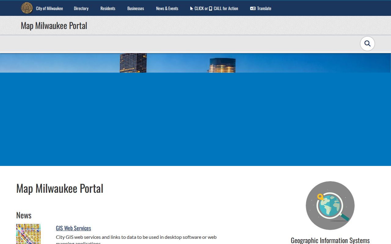
The parcel pattern keeps the inquiry tied to nearby lots and shows why one postal or neighborhood label is not enough.
Milwaukee Neighbor Group Contacts
The City publishes public contacts for neighborhood associations, Business Improvement Districts and Neighborhood Improvement Districts. These groups locate organizations and projects, not private household rosters. Use the named contact or service-area page to ask about public meetings, events, cleanup work or local plans.
Neighborhood associations
City neighborhood resources connect mapped areas with public association information where available.
BIDs and NIDs
City directories identify civic contacts in areas such as Sherman Park, Havenwoods, Washington Park, Harambee and Lindsay Heights.
Library context
Milwaukee Public Library directories and local-history files can explain how a block and its organizations changed over time.
The City neighborhood page shows its neighborhood resource and boundary framework.
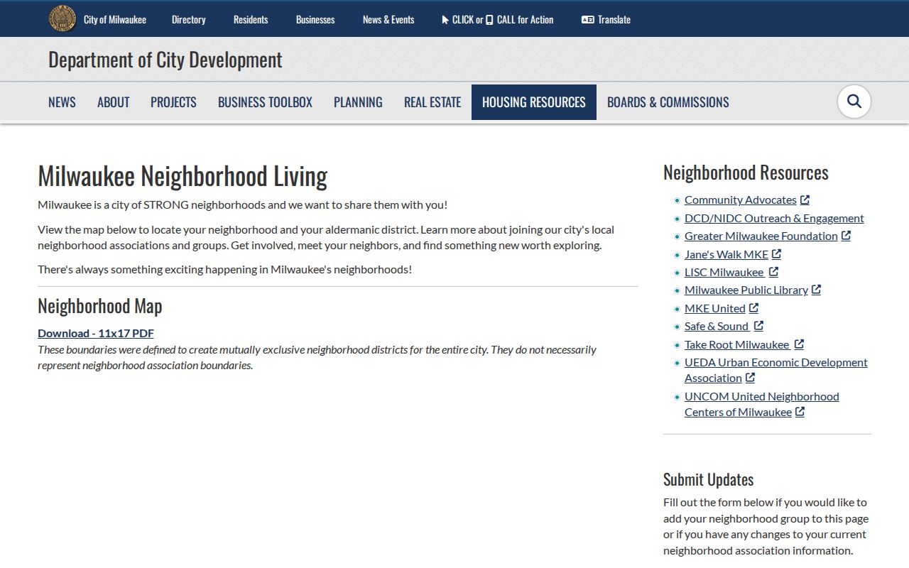
The public civic layer is useful for meeting a community on its own terms, without implying that association lines are official parcel boundaries.
Milwaukee Voter Data Is Limited
MyVote Wisconsin is an elector self-lookup. Name mode requires first name, last name and birth date. Address mode asks for street, unit, city and ZIP. It can show registration, election participation, elected officials and absentee status for the matching voter, but not ballot choices.
Non-protected voter-file data may be requested under Wis. Stat. §6.36(6) and Wis. Admin. Code EL 3.50. Municipal clerks handle ward and poll-list questions, while Badger Voters handles standard reports. Actual addresses of confidential electors and other protected fields are withheld.
A voter file is not a household list. It omits people who are not registered and hides protected records. Never use its gaps to declare that a parcel is vacant or that every occupant has been found.
Official Milwaukee Neighbor Records
Official sources and commercial neighbor tools serve different roles. Government rolls name the custodian, field meaning and correction path. Commercial tools may merge old, licensed or copied data and can lag after a move. Treat them as unverified leads, not as replacements for parcel or court records.
| Source type | Strength | Main limit |
|---|---|---|
| Municipal parcel roll | Current official ownership and parcel fields | Does not list every occupant |
| City or county GIS | Adjacent parcel geometry and mapped layers | Layer dates and attributes vary |
| Public civic directory | Named organizational contacts | Not a private-member roll |
| Commercial category | May suggest alternate names or old addresses | Source, date and accuracy can be unclear |
Correct an official error with the source custodian. Suppression from a secondary index does not erase the government record it copied.
Milwaukee Neighbor Lookup Limits
Public records do not reveal every occupant, child, guest, or household member. Water customer data and postal delivery lists are not public resident directories. Court systems redact protected account and identification numbers, and vital records carry their own eligibility rules.
Wisconsin Safe at Home gives eligible residents a substitute address and mail forwarding under Wis. Stat. §165.68. A participant may register as a confidential elector, which keeps the name and actual address from public inspection. Do not try to reverse that protection through other sources.
Contact is best made through a public association channel, a known mutual connection or ordinary respectful conversation. A parcel owner's name is not permission to publish, monitor or confront a household.
Block research should also respect the difference between a parcel line and a neighborhood identity. Map Milwaukee can display adjacent taxkeys and mapped layers, while the county Land Information Office provides countywide parcel context. The City neighborhood page and public association contacts describe civic service areas and local groups. Those boundaries may overlap without error. Record which layer produced each result rather than treating a neighborhood label as a legal address boundary.
Older directories can add historical context without becoming a present-day roster. Milwaukee Public Library identifies address browsing from 1921 forward, and its 1930 directory contains the converter needed for the citywide number change. Read the street section for one selected year, note adjoining numbers, and preserve abbreviations exactly. Then compare the block with a Sanborn map, census schedule, permit record, or deed chain. A name found in an old volume describes that source and year only.
If an online map or index fails, use the documented alternatives. Contact the municipal assessor for parcel files, the Milwaukee County Register of Deeds for recorded instruments, or a clerk for an existing public record under Wis. Stat. §§19.31-19.39. Library and archive staff can help locate historical formats. Keep requests narrow by naming the street range, municipality, date span, and record type. Custodians need not create a new neighbor list that their office does not already maintain.
Lawful use. Use Milwaukee neighbor records for civic and personal research. Never use public data to watch, stalk, harass, intimidate or harm a person.