
Walk a Milwaukee Street
A good Milwaukee street directory begins with parcels, not a loose name list. Map each address in order and label what each source proves. Assessment establishes the named owner shown for tax purposes. A deed establishes a recorded interest. A permit supplies work, dates, and named contacts. A historical directory may identify an occupant, spouse, or business. None alone establishes every current household member.
- Search the address or intersection in Map Milwaukee, select the parcel, and copy the taxkey.
- Open the correct municipal assessor card and save situs, owner, mailing address, and record date separately.
- Search City DNS or the municipality for permits, inspections, and address-linked files.
- Follow the legal description through the Register of Deeds, first to the purchase instrument and then to prior grantors.
- For older occupants, convert historic numbers and browse the library's address section for the matching year.
Milwaukee Parcels Become Taxkeys
Map Milwaukee Property Information accepts a street or intersection and a taxkey. Select each parcel polygon in a consistent north-to-south or east-to-west pass. Copy the exact taxkey, including leading zeroes or separators. Note vacant lots, parks, rail rights-of-way, schools, churches, condominium common land, and multi-parcel sites instead of forcing every shape into a household row.
The map offers parcel layers, query, selection, measurement, and export tools. A map selection is useful for a working list, but it is not a survey or title opinion. The county Land Information Office covers suburban parcels and municipal boundaries. Published parcel geometry and assessor attributes can refresh on different schedules, so date each capture.
The current mapping page shows the official starting point for a Milwaukee street directory. 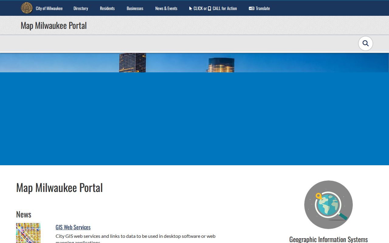
Use the live upper-right search noted by the City, then inspect the selected parcel rather than relying on map labels alone.
Milwaukee Assessor Search Controls
The City assessor's documented fields let an address-led search move from one lot to a group of comparable parcels. The taxkey is the most precise link. Street fields can return variants, while building and sale filters help test whether the right parcel was chosen. The portal covers City parcels only.
| Field | Format | Street-directory use |
|---|---|---|
| Taxkey | Exact text | Open one parcel |
| Street number | Number or text | Fix one address |
| Street name | Name without over-specific terms | Return street matches |
| Year built | From and to | Compare building age |
| Sale date and price | Date and ranges | Spot transfer leads |
| Book and page | Text when present | Bridge to deeds |
Save the physical, or situs, address separately from the owner mailing address. An out-of-area mailing address can be useful for correspondence research, but it is not evidence of residence at either place.
Milwaukee Situs Versus Mailing
The situs address locates the physical parcel. The mailing address tells where assessment or tax correspondence is sent. A Milwaukee street directory should never merge those fields. A business, trustee, management office, or owner living elsewhere can receive the mail. An assessment classification marked owner-occupied is still an administrative field, not conclusive proof of every occupant.
- Parcel
- A mapped unit of land identified by a taxkey.
- Situs address
- The physical location assigned to the parcel.
- Plat
- A recorded map that divides land into lots, blocks, or other units.
- Criss-cross directory
- A directory arranged by street and number rather than only by surname.
When a corner site, condominium, split, or assembled parcel has more than one taxkey, record every visible legal description before moving to the deed index.
Milwaukee Address Permit Evidence
The City's Accela property lookup offers Address, Taxkey Information, Owner, Record Information, and Licensed Professional modes. For an address search, City guidance says to use the street number and bare street name without direction or street type. A percent sign works as a wildcard. These details help when a normalized street name fails.
Record details can expose permits, inspections, violations, attachments, mailed notices, and event dates. Online historical instructions identify permits from 1997, while Development Center microfilm reaches 1900 and City construction files can begin in 1888. Call DNS at (414) 286-2268 or DCD at (414) 286-8211, visit the Development Center, or file a Chapter 19 request when the portal does not return the needed file. Suburban permits remain with each municipality.
Note: A permit contact or attachment name is evidence tied to that record, not proof that the person lived at the property.
Milwaukee County Deed Chain
Move from the assessor's taxkey and legal description to the Milwaukee County Register of Deeds. The archive digitizes deeds back to 1835. Name and tract searching works for deeds from April 1, 1948 forward; older deeds require a document number or book and page. All recordings from 1962 forward are digitized.
Read the purchase deed, copy the grantor, then search that seller in the prior period. Keep grantor, grantee, instrument type, document number, date, legal description, and consideration in separate fields. A mortgage, release, quitclaim, probate deed, and ordinary conveyance do not mean the same thing. Recorded ownership still does not prove occupancy.
The Tapestry interface is a useful gateway for the deed portion of a Milwaukee street directory. 
For complex history, schedule the county archive appointment at least 24 hours ahead; staff guide access but do not build the chain.
Milwaukee Street Record Coverage
Address-keyed systems answer different parts of the street question. Use the parcel or record as the unit, then label each name by its documented role. The street directory becomes more reliable when it preserves the gaps instead of implying a complete household list.
| Record Set | Keeper | What It Shows | Access |
|---|---|---|---|
| Assessment card | Municipal assessor | Owner, situs, mailing, value, building | City portal or municipality |
| Parcel map | Map Milwaukee or County LIO | Taxkeys, shapes, municipal boundary | Public viewer |
| Deeds and liens | Register of Deeds | Recorded parties and legal description | Tapestry, counter, mail |
| Election record | WEC or clerk | Own registration or lawful list data | MyVote or written request |
| Permits and inspections | City DNS or municipality | Work, events, record contacts | Accela, microfilm, request |
The taxkey ties the map to assessment and often to permit or deed research. The legal description carries the chain through address changes. Street name and number connect historical directory entries only after renumbering has been checked.
Milwaukee's 1930 Number Bridge
Milwaukee changed street numbers across most of the City in 1930, and several south-side street names changed. Cambridge Avenue was renumbered more than once. Wauwatosa has a 1931 street-name supplement. These shifts can make the correct household disappear when an old number is placed into a modern map.
Use the converter in the 1930 city directory, then test both forms against intersections, legal lot and block, a Sanborn sheet, permit files, and recorded documents. Keep old and normalized addresses side by side. A street directory should state which form appears in each source rather than silently replacing the old address.
Milwaukee Street Sections After 1921
Milwaukee Public Library identifies address browsing from 1921 forward. A criss-cross or street section can show a name, occupation, spouse or widow notation, business site, and householder or boarder marks, depending on the year. Record all entries at the number and consult that volume's abbreviation key.
The street directory shelf is held in print, microfiche, microfilm, and licensed digital form at the Zeidler Room. A catalog hit may be library-use only. The Milwaukee city directory collections explain the runs in full; for street work, select only the needed year and address section.
Milwaukee ZIP Lines Cross Streets
Postal geography does not follow municipal limits. ZIP 53217 spans Bayside, Fox Point, Glendale, River Hills, and Whitefish Bay. ZIP 53214 crosses Milwaukee, West Allis, and West Milwaukee; 53219 crosses Milwaukee, Greenfield, West Allis, and West Milwaukee. A named street can therefore pass through more than one assessor or permit jurisdiction.
Verify the full address through USPS, but do not use a ZIP result as proof that a person or firm is present. Use County LIO municipal boundaries to choose the custodian, then return to parcel and address keys. This distinction keeps a Milwaukee street directory from flattening postal and legal geography.
Milwaukee Street Offline Paths
When a portal fails, use the full access chain. The Register of Deeds accepts counter and mail copy requests, offers phone help, and requires appointments for complex archive research. City permit microfilm is at the Development Center. The City Assessor and suburban municipal assessors handle their own parcel files. Milwaukee Public Library, MCHS, and UWM Archives hold older directories, maps, and related collections.
A written request under Wis. Stat. §§19.31-19.39 can seek an existing record from the proper custodian. Wisconsin requires a response as soon as practicable and without delay, subject to exceptions and actual, necessary, direct costs. Describe the address, date range, department, and record type. Do not ask an office to create a new street list.
Note: Confirm office hours and current GIS links before travel because county layers and research-room access changed during 2026.
Limits of Milwaukee Street Records
A Milwaukee street directory cannot establish every current resident. Parcel cards list assessed owners, not all occupants. Deeds list parties to recorded interests. MyVote does not publish a block-wide household roll, and confidential electors are excluded from public data. Utility and delivery customer lists are not public resident directories. Driver records have federal and Wisconsin privacy controls. Safe at Home participants use a substitute address, and sealed court or vital files remain protected.
Commercial neighbor tools can merge people with similar names and carry old addresses. Official records also contain delays and errors, but they identify a custodian and date. Correct a source record with its office. Do not publish full account, license, Social Security, passport, medical, or protected-address information.
Record the date and purpose of each source. An assessor card is strongest for assessed ownership and parcel facts; a recorded deed shows the parties and legal transfer named in that instrument; a permit identifies work and applicants tied to a project. None proves that every named person occupied the building on the search date. When sources disagree, keep both results, note their dates, and request the underlying document from the custodian instead of forcing one name into the street directory.
Lawful use. Use Milwaukee address records for lawful personal, family, civic, or property research. Never use them to stalk, harass, intimidate, or harm anyone.